
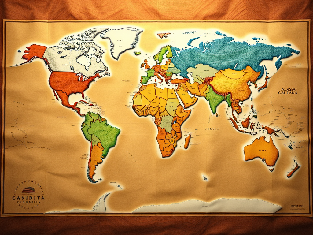
The world map, a seemingly straightforward representation of our planet, often hides surprising truths and perpetuates subtle misconceptions. The familiar shapes and relative sizes of continents ingrained in our minds from classroom posters can be deceiving. Prepare to have your geographical understanding challenged by these ten fascinating facts that will make you look at the world map in a whole new light.
- Africa is Far More Massive Than You Think: The Mercator projection, the most commonly used world map, significantly distorts the size of landmasses closer to the poles, making Europe and North America appear much larger than they are in reality. Africa, straddling the equator, suffers less from this distortion and is, in fact, considerably larger than it appears. You could fit the United States, China, India, Japan, and all of Europe within the borders of Africa. Its true scale is often underestimated, impacting our perception of its geopolitical and economic significance.
- Canada’s Southernmost Point is Further South Than Northern California: Our mental image often places Canada as a vast, uniformly northern land. However, the southernmost point of mainland Canada (Middle Island in Lake Erie) lies at roughly the same latitude as the northern border of California. This highlights the significant north-south extent of both North American countries and challenges the simplistic “north of the US” perception of Canada.
- Alaska is Simultaneously the Westernmost and Easternmost US State: Due to the Aleutian Islands stretching across the 180th meridian, Alaska holds the unique distinction of having both the westernmost and easternmost points of the United States. Semisopochnoi Island is located in the Eastern Hemisphere, making it the easternmost point, while other Aleutian Islands extend far into the Western Hemisphere, beyond the longitude of the western continental US.
- The Easternmost Point of Brazil is Closer to Africa Than Its Westernmost Point: The sheer width of Brazil, the fifth-largest country in the world, is often underappreciated. Its easternmost tip, Ponta do Seixas, is geographically closer to the western coast of Africa than it is to Brazil’s far western reaches. This illustrates the vast transatlantic distances and the surprisingly “eastern” location of parts of South America.
- London is Further North Than Calgary: Our intuitive understanding of latitude might place major European cities like London on a similar latitudinal band as major US East Coast cities. However, London’s latitude is comparable to that of Calgary, Canada, a city known for its cold winters. This fact underscores the moderating influence of the North Atlantic Current (part of the Gulf Stream) on Western Europe’s climate.
- There’s an Island Within a Lake, on an Island Within a Lake, on an Island: This mind-bending geographical curiosity exists in the Philippines. Vulcan Point is a rocky outcrop and the remnant of a volcano’s crater. It sits within Crater Lake, which is on Volcano Island (Main Crater Island), situated in Taal Lake, which fills the Taal Volcano caldera on the main island of Luzon. This nested island-lake-island-lake-island structure is a testament to the complex geological processes that shape our planet.
- Russia Spans Eleven Time Zones, While China Officially Has Only One: The vast east-west expanse of Russia necessitates its division into eleven different time zones to accommodate the Earth’s rotation. In stark contrast, China, despite being nearly as wide as the contiguous United States, officially operates on a single time zone, Beijing Time. This policy has significant implications for daily life in the country’s western regions, where sunrise and sunset can occur at very unusual times.
- The North Pole is Not on Land, But on a Moving Ice Sheet: Unlike the South Pole, which is situated on the continent of Antarctica, the geographic North Pole lies on a constantly shifting sheet of sea ice over the Arctic Ocean. This means that the precise location of the “top” of the world is not fixed and is subject to the dynamics of ice movement.
- Africa is the Only Continent That Extends Into All Four Hemispheres: Due to its unique position straddling the Equator and extending both east and west of the Prime Meridian, Africa is the only continent that has territory in the Northern, Southern, Eastern, and Western Hemispheres. This geographical positioning contributes to its diverse climates and ecological zones.
- The Panama Canal Doesn’t Run East to West: Contrary to what a quick glance at a north-oriented map might suggest, the Panama Canal primarily runs from northwest to southeast. Ships entering from the Pacific Ocean on the southern end actually exit towards the north on the Atlantic side. This surprising orientation is due to the isthmus’s shape and the most efficient route for the waterway.
These geographical facts challenge our ingrained perceptions of the world map, often shaped by the distortions of common projections and simplified representations. By understanding these nuances, we gain a more accurate and fascinating appreciation for the true shape, size, and interconnectedness of our planet. The world is a far more surprising and complex place than a quick glance at a standard map might suggest.




Leave a Reply